Leeds, England/leeds428
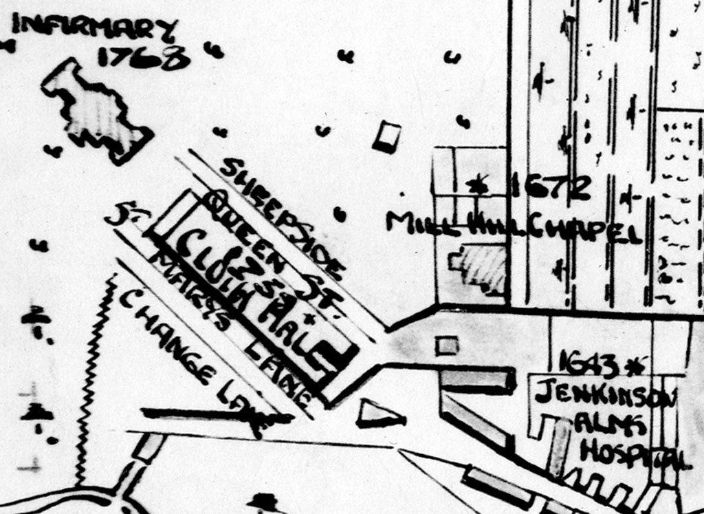
Previous | Home | NextThe Mill Hill Chapel area. The preparer of this map has more clearly delineated the road running north from Mill Hill Chapel, which today is known as Lower Bassinghall Street, where Priestley had his second accommodations (after moving from Meadow Lane). Just north of the Mill Hill Chapel (dating from 1672), some improvement just north of the chapel suggests Priestley's house was here, which was the location of the future Priestley Hall (torn down in the 1960s). The "Cloth Hall" to the left was a market for the active woolen industry. By kind permission of Leeds Library and Information Services, www.leodis.net.
